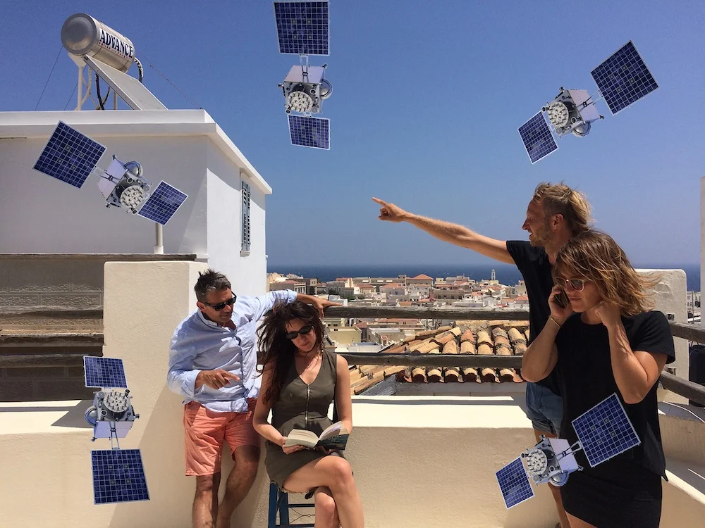
Walking With Satellites

This project uses reflective walking workshops to critique and re-think the GPS satellite network. Most uses of GPS concentrate on navigation, time-keeping and social media, but this is just the tip of an iceberg of meaning. How are meanings around place constructed, not by the user, but by a network of satellites, ground stations, sensors and physical and political topographies? How does meaning emerge across the infrastructure? What new stories can we tell about GPS beyond the presence of a blue dot on a map? How does the constant presence of our devices and the spatial networks they are connected to alter our sense experience? The collective term for an array of satellites is a constellation. How could we re-name and re-narrativise a constellation of satellites in the same way our ancestors did for the stars?
This project has been presented in a number of forums with a number of different focuses. Documentation can be found below. The work forms part of my PhD research in Media & Arts Technology at Queen Mary, University of London. Links to the PhD thesis and the articles that emerged from this research can be found here.
The Culture Capital Exchange (Somerset House, London) (documentation) 2017
Sound Development City (Madrid / Casablanca) (tumblr) September 2016
Peoples' History Museum (Manchester, UK) August 2016
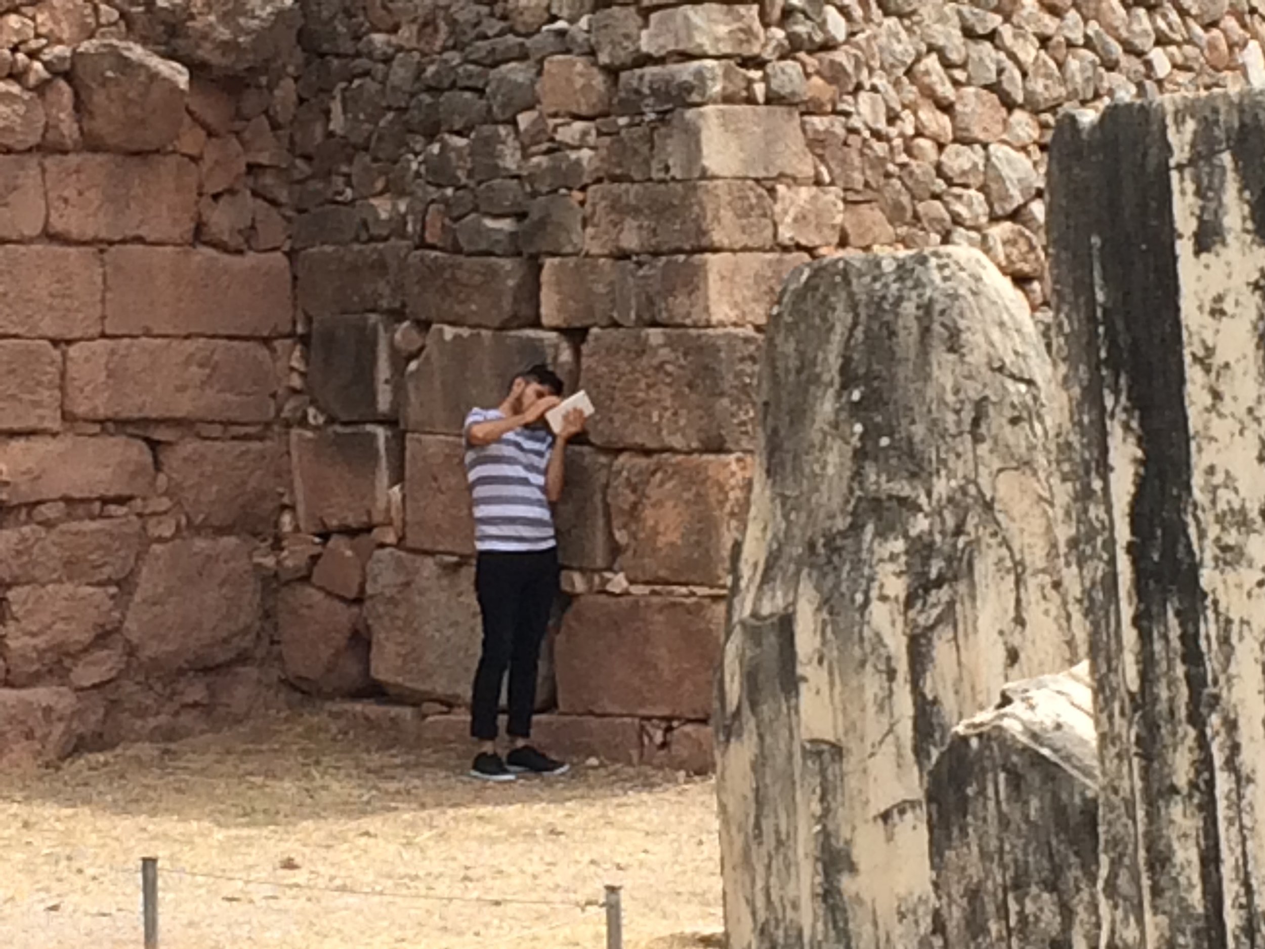
Made of Walking Residency (Delphi, Greece) (pdf documentation) July 2016
AntiUniversity (Barbican Estate, London) (documentation) June 2016
The Culture Capital Exchange (Barbican Estate, London) April 2016
Nordic Summer University (Fengersfors, Sweden) March 2016